Currie Voting District, Murray County, Minnesota
About
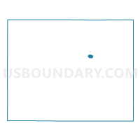
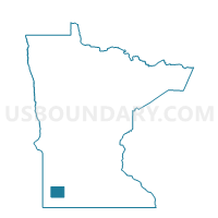
Outline

Summary
| Unique Area Identifier | 603274 |
| Name | Currie Voting District |
| County | Murray County |
| State | Minnesota |
| Area (square miles) | 0.57 |
| Land Area (square miles) | 0.57 |
| Water Area (square miles) | 0.00 |
| % of Land Area | 100.00 |
| % of Water Area | 0.00 |
| Latitude of the Internal Point | 44.07046820 |
| Longtitude of the Internal Point | -95.66724890 |
Maps

Graphs
Select a template below for downloading or customizing gragh for Currie Voting District, Murray County, Minnesota